
Aucilla Creek Project
The goal of the Aucilla Creek Project is for Golden Triangle RC&D to develop a Nine Element Watershed Management Plan (WMP) for the Aucilla River watershed. The Aucilla River watershed lies within the larger Ochlockonee River Basin. Golden Triangle RC&D will develop the Plan by utilizing USEPA’s “Handbook for Developing Watershed Plans to Restore and Protect Our Waters.”
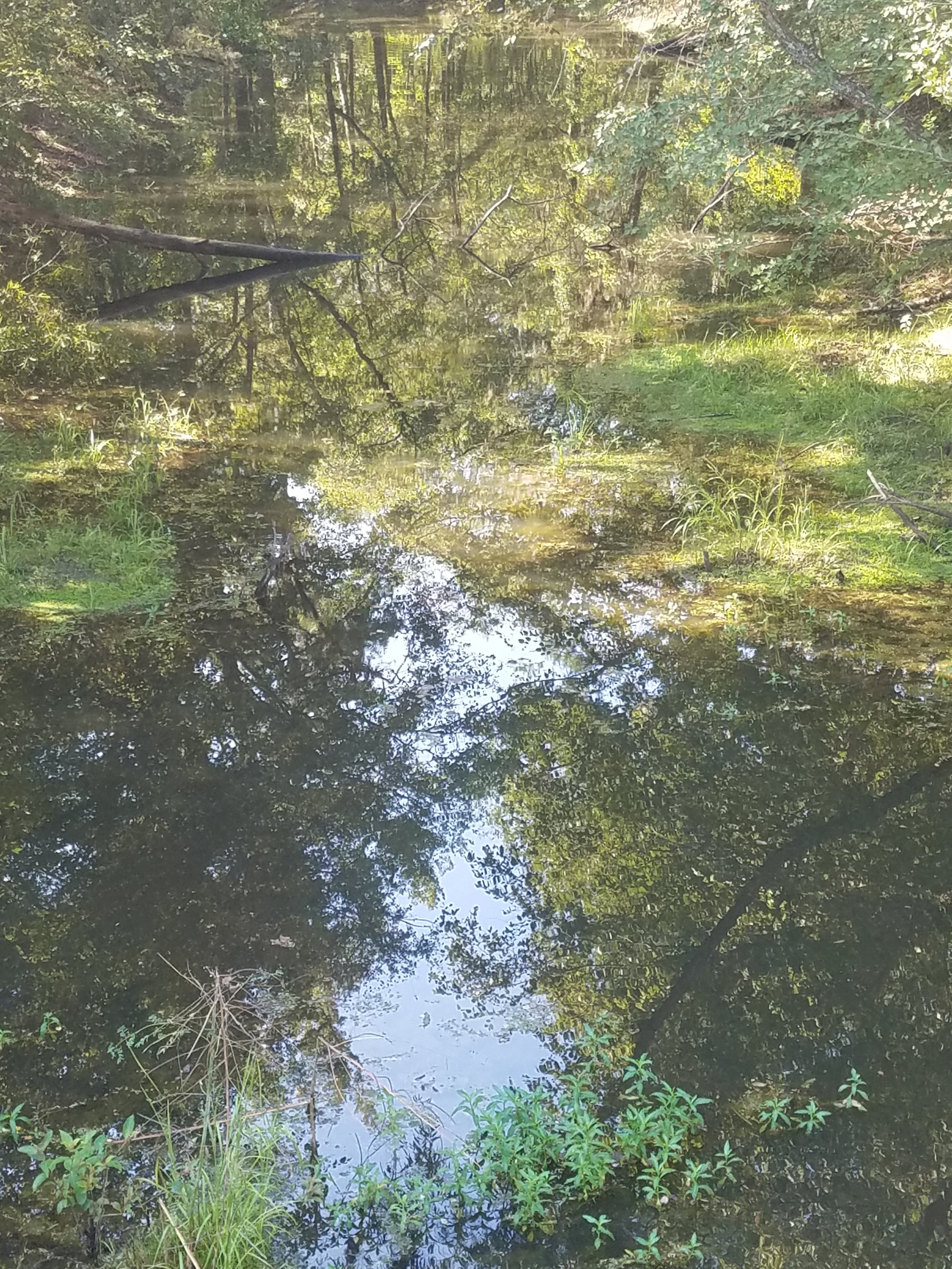
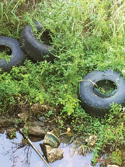
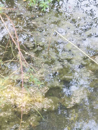
Olive Creek is located in the southeast section of the City of Thomasville in Thomas County within the Ochlockonee River Basin. Olive Creek has two independent sections not supporting their water use classification of fishing. Section 1 of Olive Creek, Headwaters to upstream U.S. Hwy. 19, Thomasville is three miles long. Section 2 of Olive Creek, U.S. Highway 19 to Aucilla River, (formerly Headwaters to Aucilla River), is six miles long. The Aucilla River (Massey Branch to Brooks County line near Boston) is also listed and is 10 miles long. Section 1 of Olive Creek and the Aucilla River are listed for fecal coliform and dissolved oxygen while Section 2 of Olive Creek is listed for a fair ranking for macroinvertebrates.
Project Partners
As part of the Aucilla Contract we have collaborative partnership that will target the Aucilla watershed, with a particular focus on Olive Creek. We have secured partnerships with Ochlockonee River Water Trail, Keep Thomas County Beautiful, Hands on Thomas County, GA Forestry Commission, Partners for Fish and Wildlife (USFWS), Birdsong Nature Center and Thomas University.