
Little Tired Creek Project
The overall goal and purpose of this project is to provide technical assistance to Georgia Environmental Protection Division (GAEPD) by water quality monitoring of specific site locations, data gap analysis and collection of existing water and land use, providing education and outreach to the public, establishing an advisory committee, hosting public meetings, creating a website, and identifying potential landowners for Best Management Practice (BMP) cost-share projects.
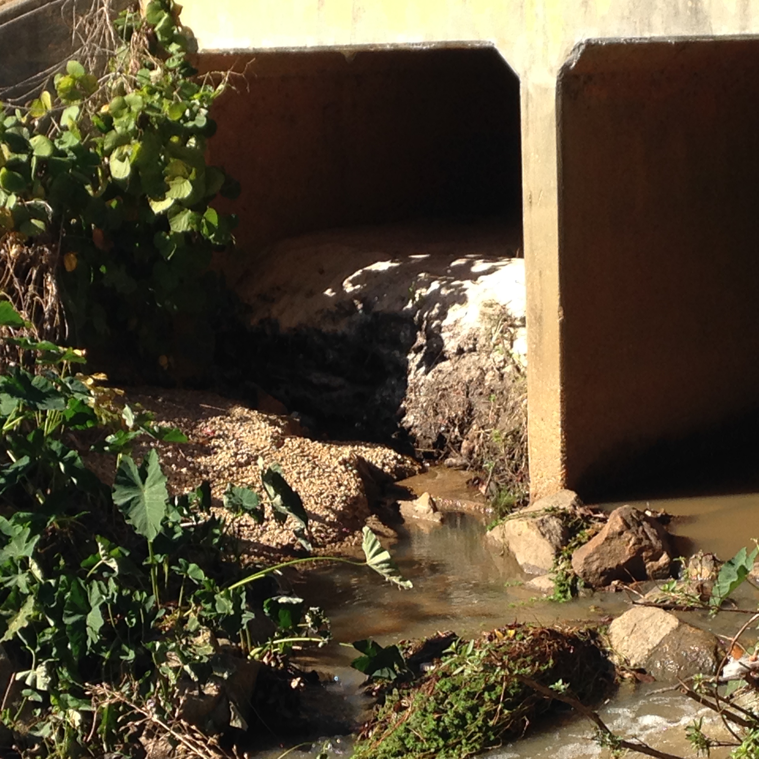
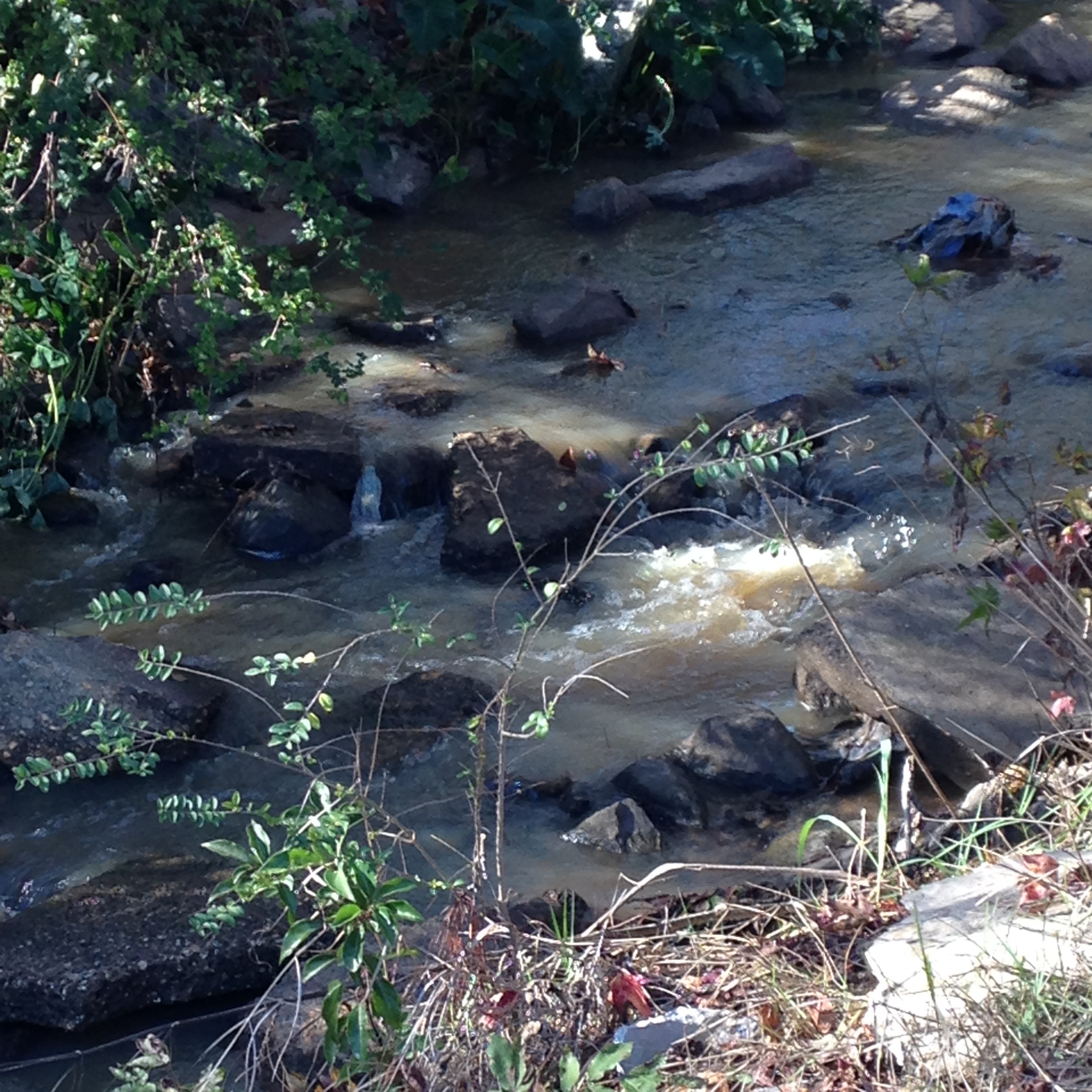
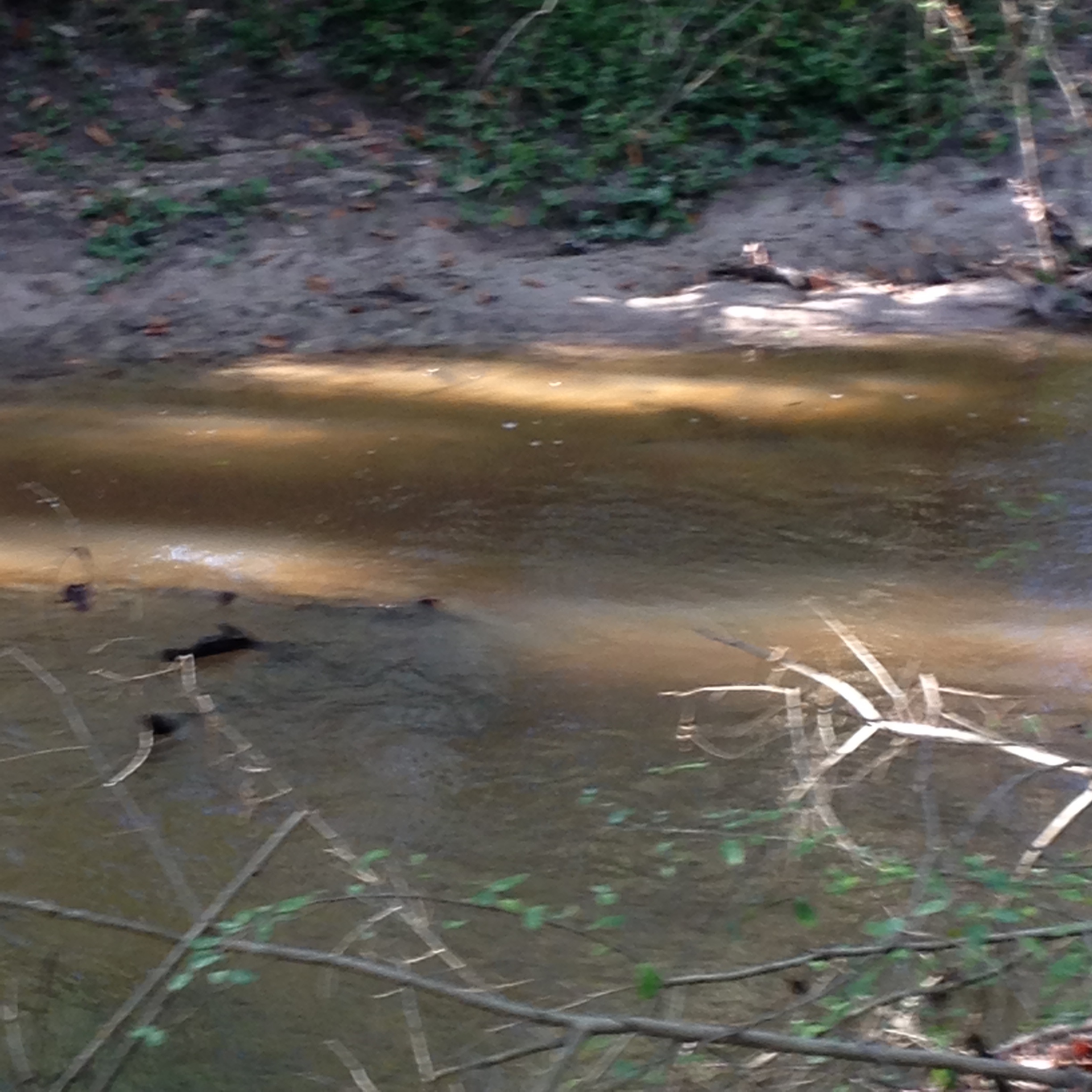
The Tired Creek Watershed (HUC 10 area 0312000207) is located in the Ochlockonee River Basin in southwest Georgia. The major tributaries of this watershed are Tired Creek, Parkers Mill Creek, and Little Tired Creek. The watershed is approximately 136.99 square miles and covers the southern part of Grady County, Georgia. The Tired Creek Watershed lies within the larger Upper Ochlockonee River basin in the southwest part of the state. The Upper Ochlockonee basin occupies an area of 6,330 square miles of which approximately 1,460 square miles are within the State of Georgia.
The Georgia Environmental Protection Division (GAEPD)’s Draft 2014 Integrated 305(b)/303(d) List of Streams Not Supporting Designated Uses includes 17 miles in Grady County as not meeting its designated use (fishing) because of violating criteria for Fecal Coliform and Biota Impacted Macroinvertebrate as follows:
· Little Tired Creek (SR 188 downstream of Cairo to Tired Creek), 6 miles listed for Fecal Coliform violation,
· Parkers Mill Creek (Headwaters to Tired Creek, Cairo), 5 miles listed for Fecal Coliform violation, and
· Tired Creek (Turkey Creek to Ochlockonee River, 6 miles for Fecal Coliform, Biota Impacted Macroinvertebrate