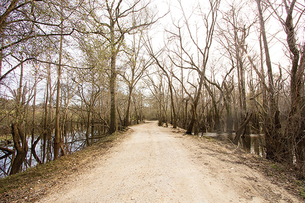

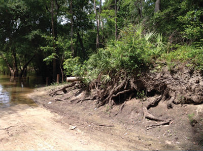
Ochlockonee River Project
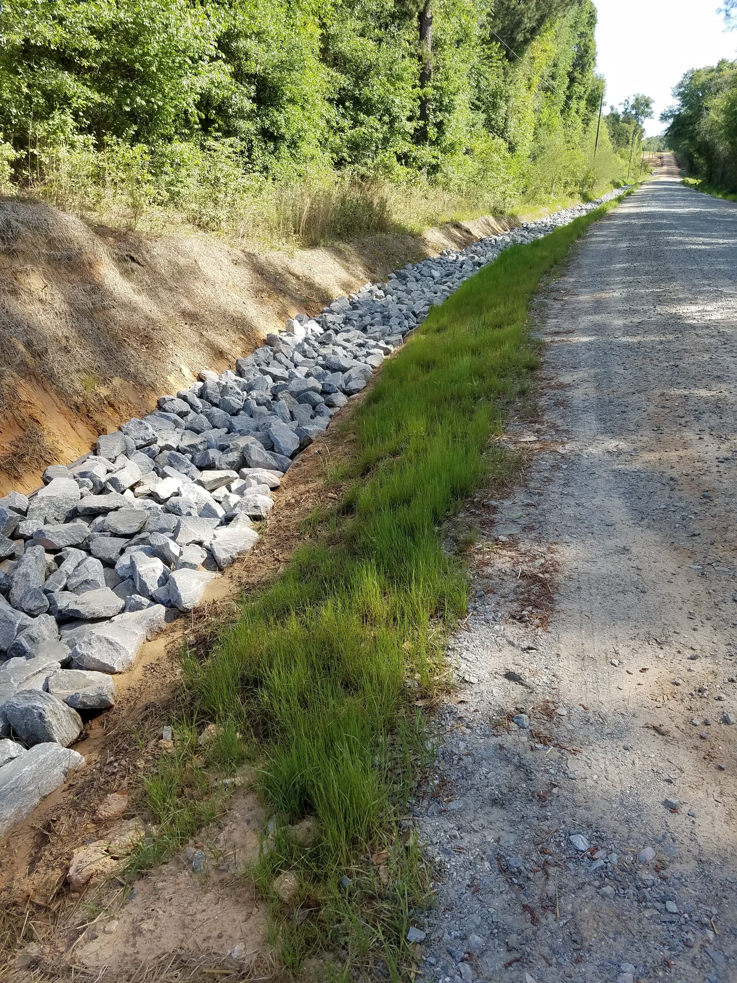
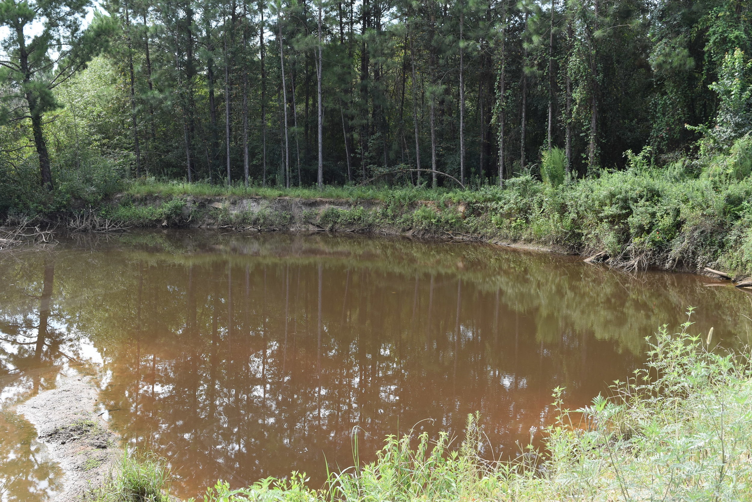
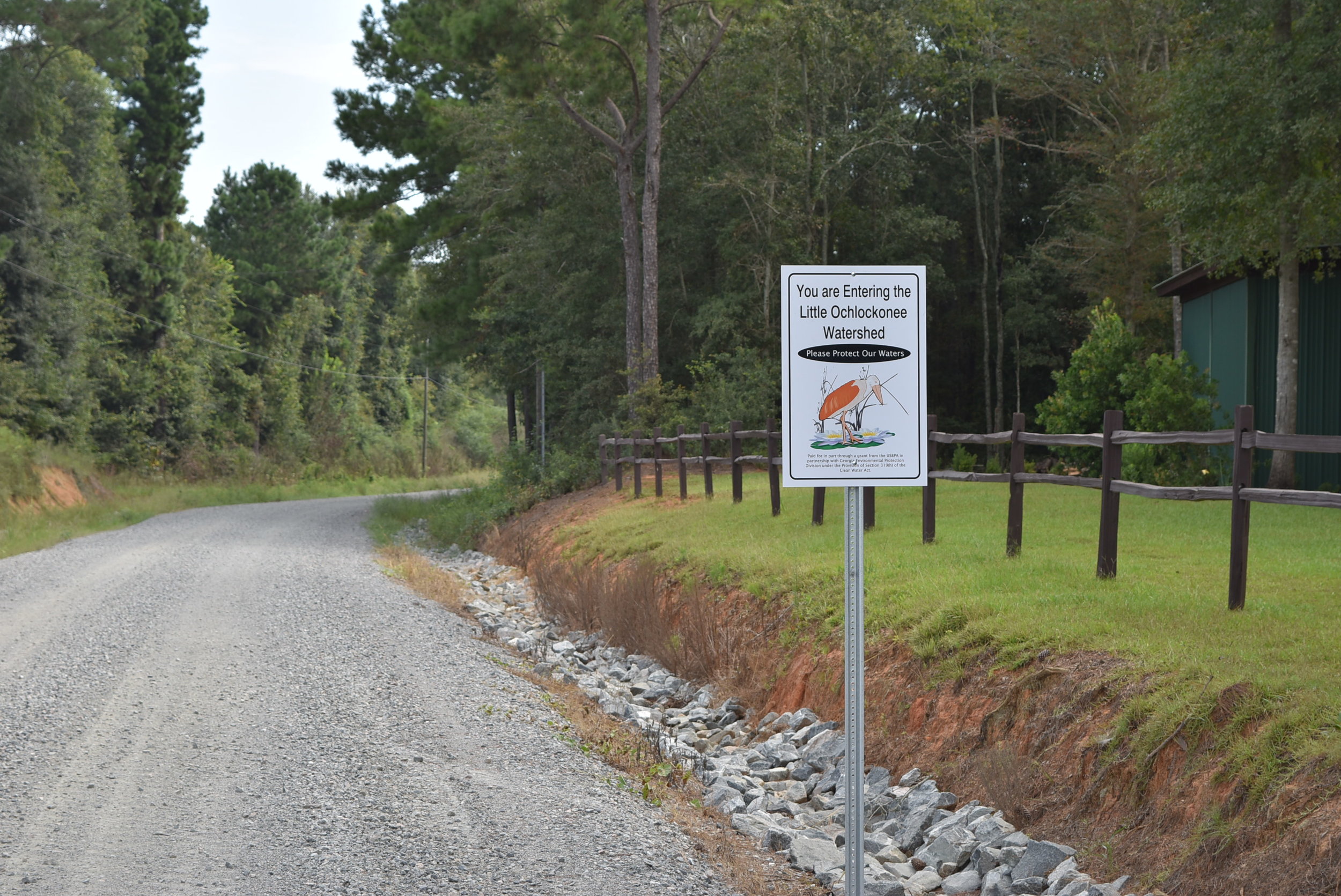
Throughout 2017, we worked on the measures associated with our contract with Georgia Environmental Protection Division (GAEPD) to implement a comprehensive Watershed Basin Plan for the clean-up and restoration of the Little Ochlockonee Watershed from May 2014 through September 2017. The project included Big Creek (headwaters to Little Creek), Lost Creek (upstream on Hwy 93), and the Little Ochlockonee River (Slocomb Branch) located within Mitchell, Colquitt, Thomas, Worth, and Grady counties in Southwest Georgia. The goal of this project was to work with stakeholders and partners toward developing and implementing a comprehensive Watershed Management Plan (WMP) for the Ochlockonee Creek Watershed. The plan aimed to address fecal coliform, dissolved oxygen, phosphorus and nitrogen and recommend effective best management practices (BMPs) to remove/reduce by 20% or greater the pollutant and nutrient loads within the creek, while conducting educational outreach and water quality monitoring.
All stakeholder meetings and site visits are complete and an advisory board is in place. The contract was completed in September of 2017.
Project Partners
GA Dept. of Natural Resources, GA Forestry Commission, Ochlochonee River Water Trail, Grady County Road Department, Keep Grady County Beautiful, Keep Thomas County Beautiful, Hands on Thomas County, Thomas University, Mitchell County Board of Commissioners, Mitchell County Road Department, Mitchell County 4-H Extension Office, C.M. Stripling Irrigation Research Park, Partners for Fish and Wildlife (USFWS), Birdsong Nature Center, Rodenberry Library, and Georgia Adopt-A-Stream.
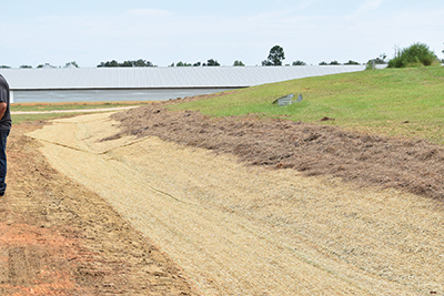
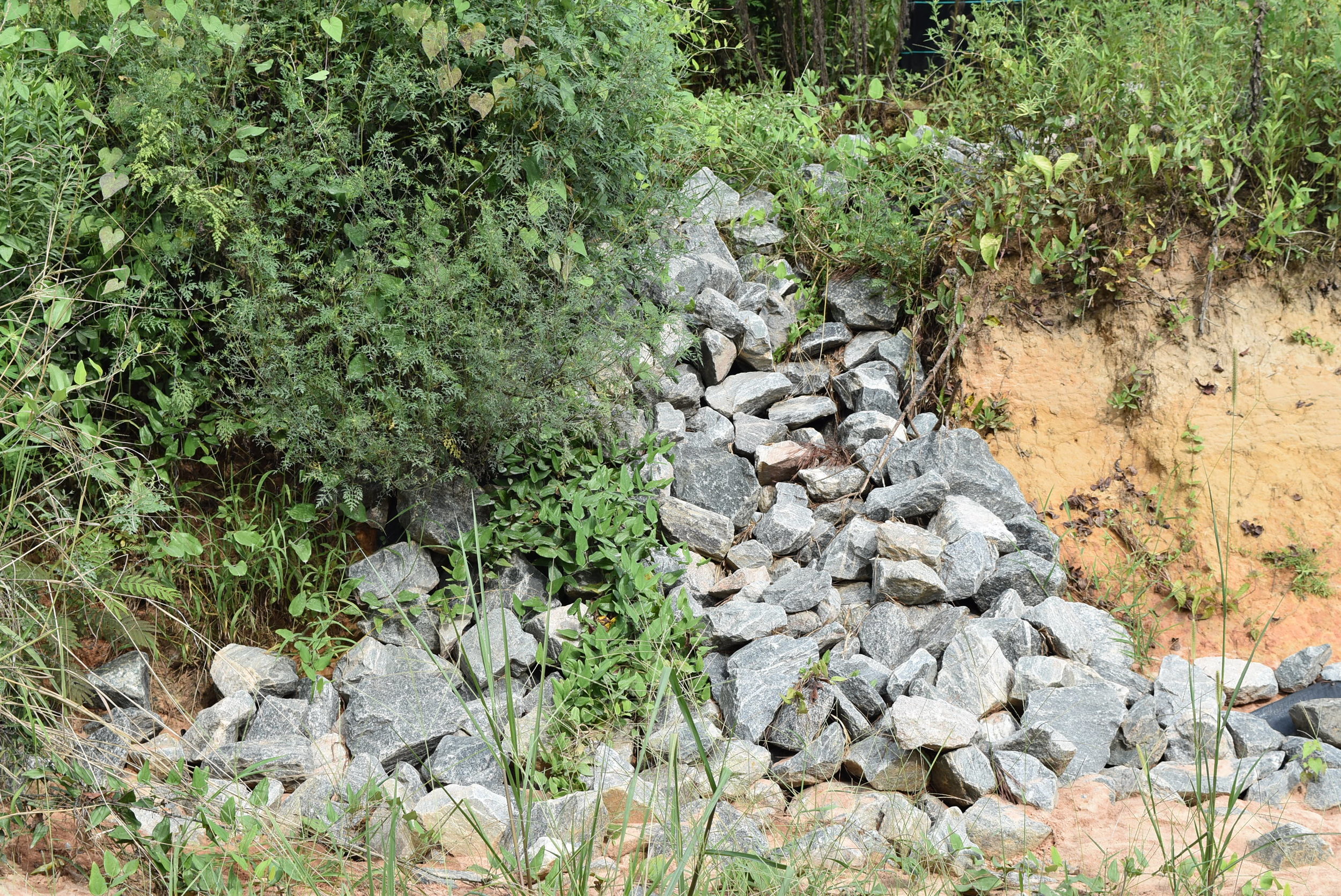
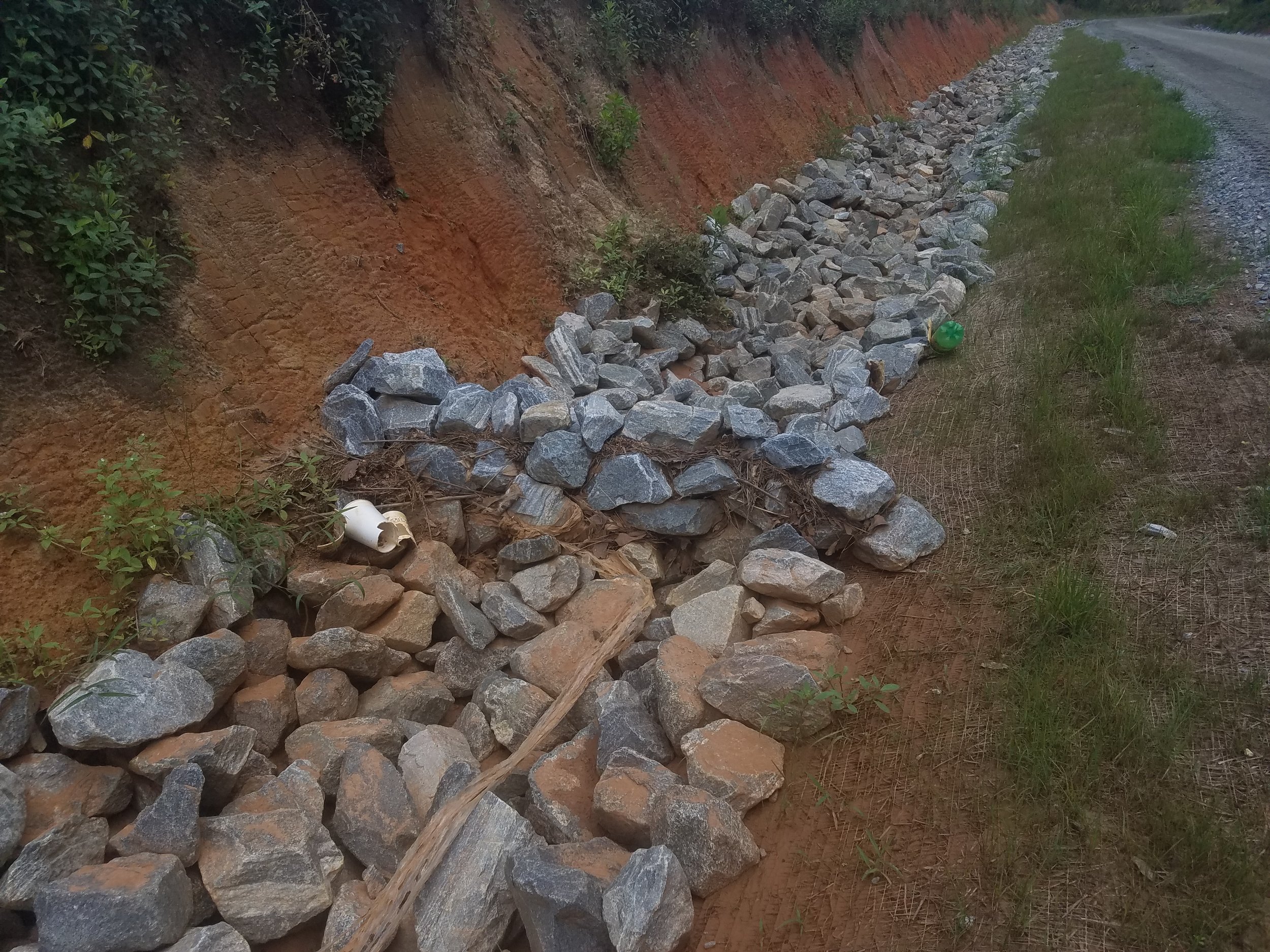
BEFORE
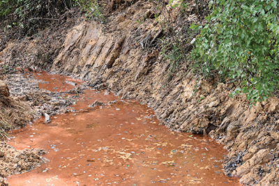
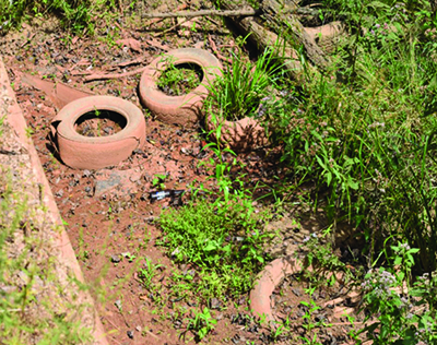
AFTER